"Welcome to Crest of a Star; these maps and other graphics are only for playing D&D type games. They are copyright and not to be used for other purposes. If you have them on your site, please remove them. Thank you."

"My maps are free. If you purchased them, you got scammed."
"Not for redistribution or resale. Hyperlinking from Pinterest or other such share sites is prohibited."


Posted

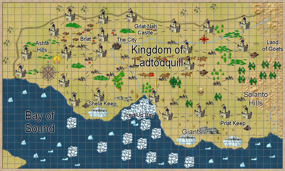
A feudal emperorship of over 2,000,000 population. Very loosely based on some of the 1980s City-States modules from Judges Guild. This nation contains all alignments; elves, dwarves, halflings, humans, gnomes, orcs, ogres, etc. rumor has it Drow are down below. Be careful where your character walks.

The alignment symbols; good, evil, chaos, and law; are there to show what is possible, not their exact location.

Added some location names. Updated map Feb 27, 2015

The capital city’s name is ‘The City’. the map for this city is 25000 feet by 20000 feet. I broke it up into 25 smaller maps of 5000’ × 4000’ each.

Why the different color umbrellas over the markets ? City faction. Good, bad, evil, neutral. No umbrella, could be anything, even working for the Emperor. This is after all a City State, and an evil one.

why the different color buildings ? Could be Guilds, Merchant families, someone had lots of paint to sell, etc.

Now, if two different color buildings are near each other, and one appears to be intruding into another group of buildings of a different color, they could indeed be trying to take over an area from another group.

Or it was just an accident… in an evil city.
link to the thumbnails.


Author
Categories South Hemisphere, Kingdom of Ladtodquill

Posted

Zips linked below. The maps are 2000 pixels across. I shrank them by 50% so they will load on this page faster.

Column 5

29. dirt, various bushes

30. narrow yellow paths, broken stone walls, rock piles, 2 skeletons, cacti, bushes

31. 3 paths, 3 tree stumps, broken stone walls, 3 cacti, 2 green shrubs, part of a blue fairy circle

32. a yellow path, a brown path, skeleton inside a sqaure broken wall area, leafless bushes, pumpkin patch, large bushes,part of a tree stump

33. 2 broken barrles, a chest, rock piles, a campfire, a stone circle, 2 dirt paths, large bushes

34. cracks in the dirt, a path leading to an elephant statue, an elephant statue beside one of the paths, 2 rock piles, leafless bushes, medium size green bushes

35. 3 dirt path, dirt path, 2 broken barrels, a chest hidden by various bushes, an open pit, large and small bushes.

7 maps, jpg, 5’ grid 4.9 megabytes, 7 maps.

7 maps, jpg 4.6 megabytes, 7 maps.

7 maps, png, 5’ grid 33 megabytes, 7 maps.

7 maps, png 33 megabytes, 7 maps.

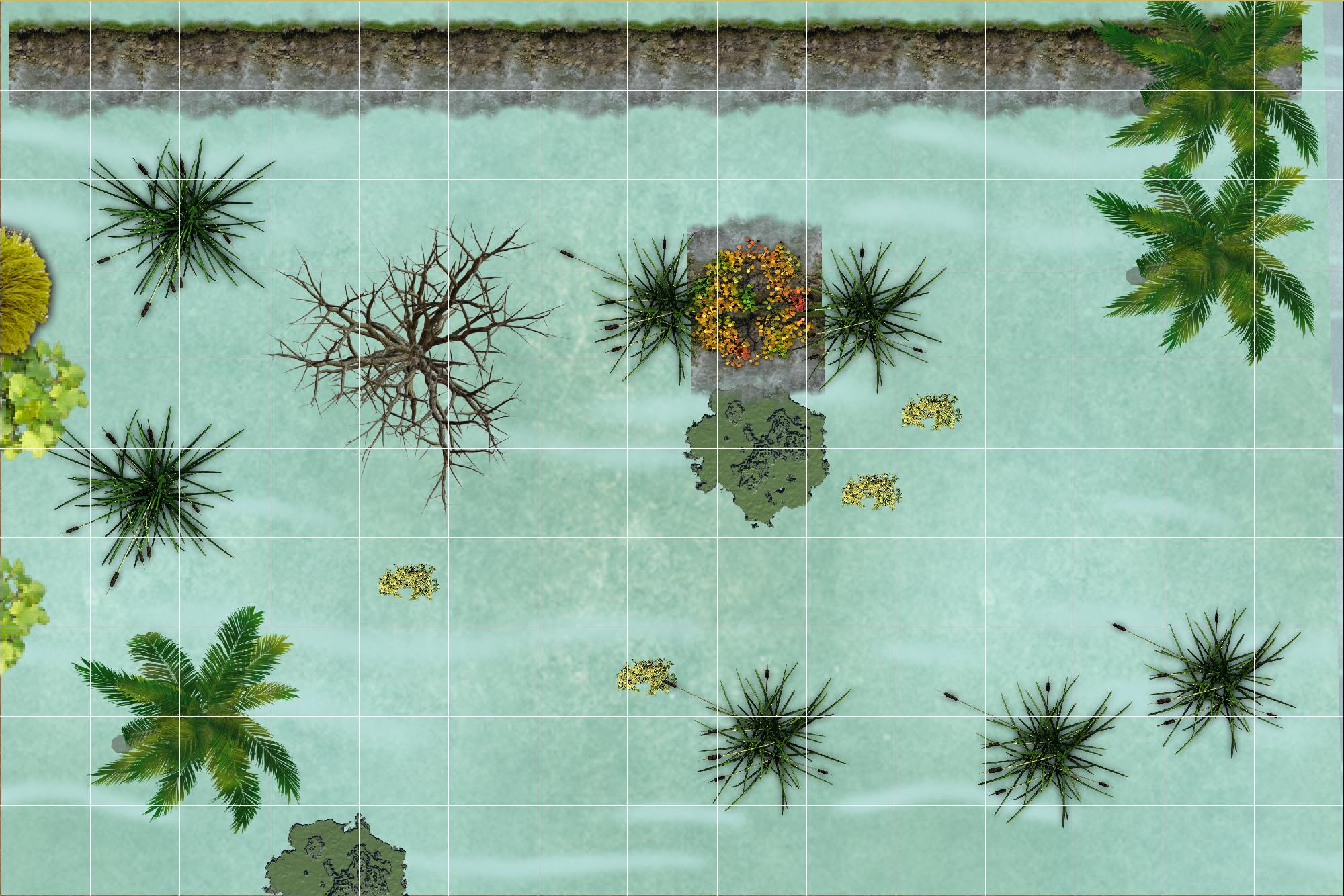
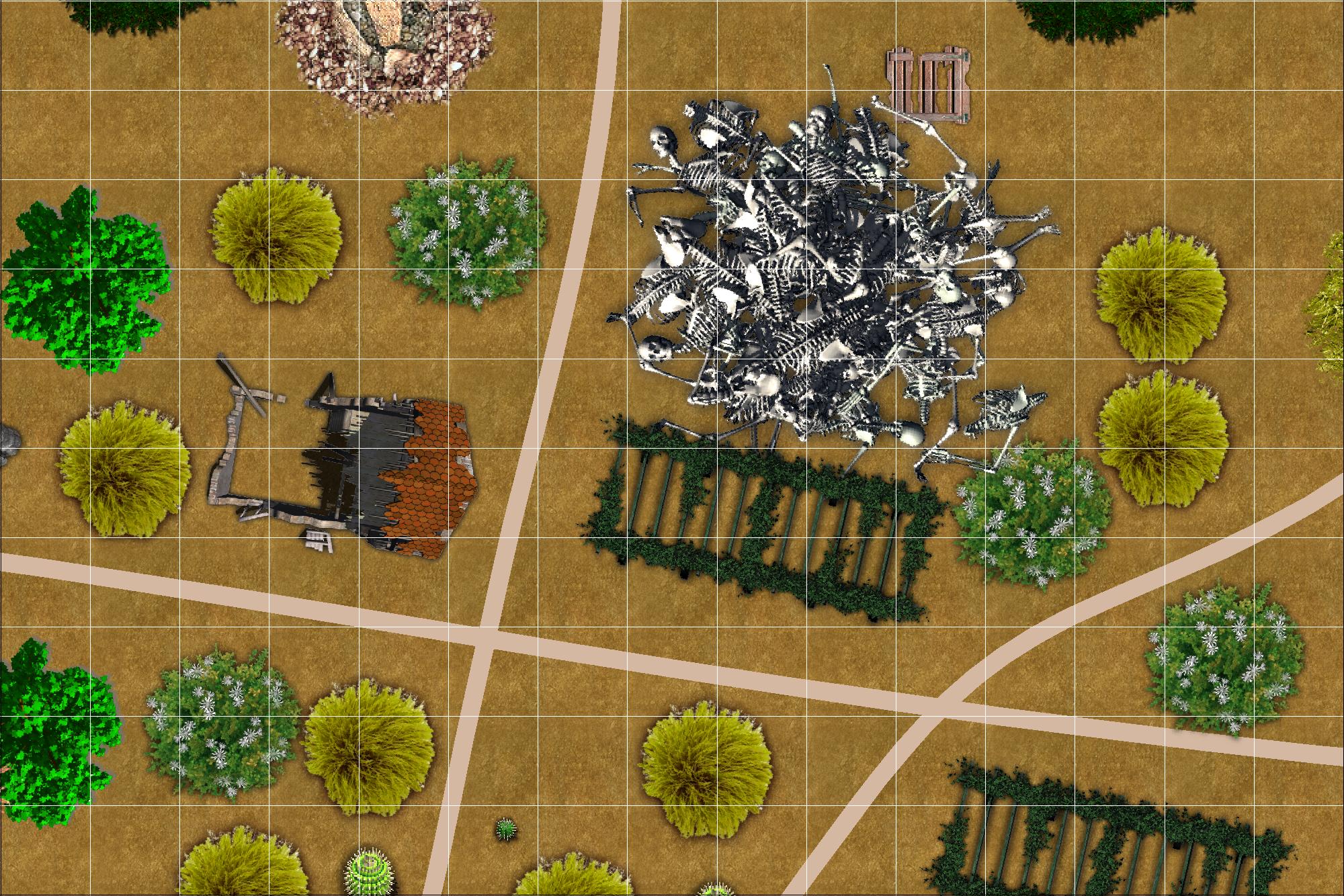
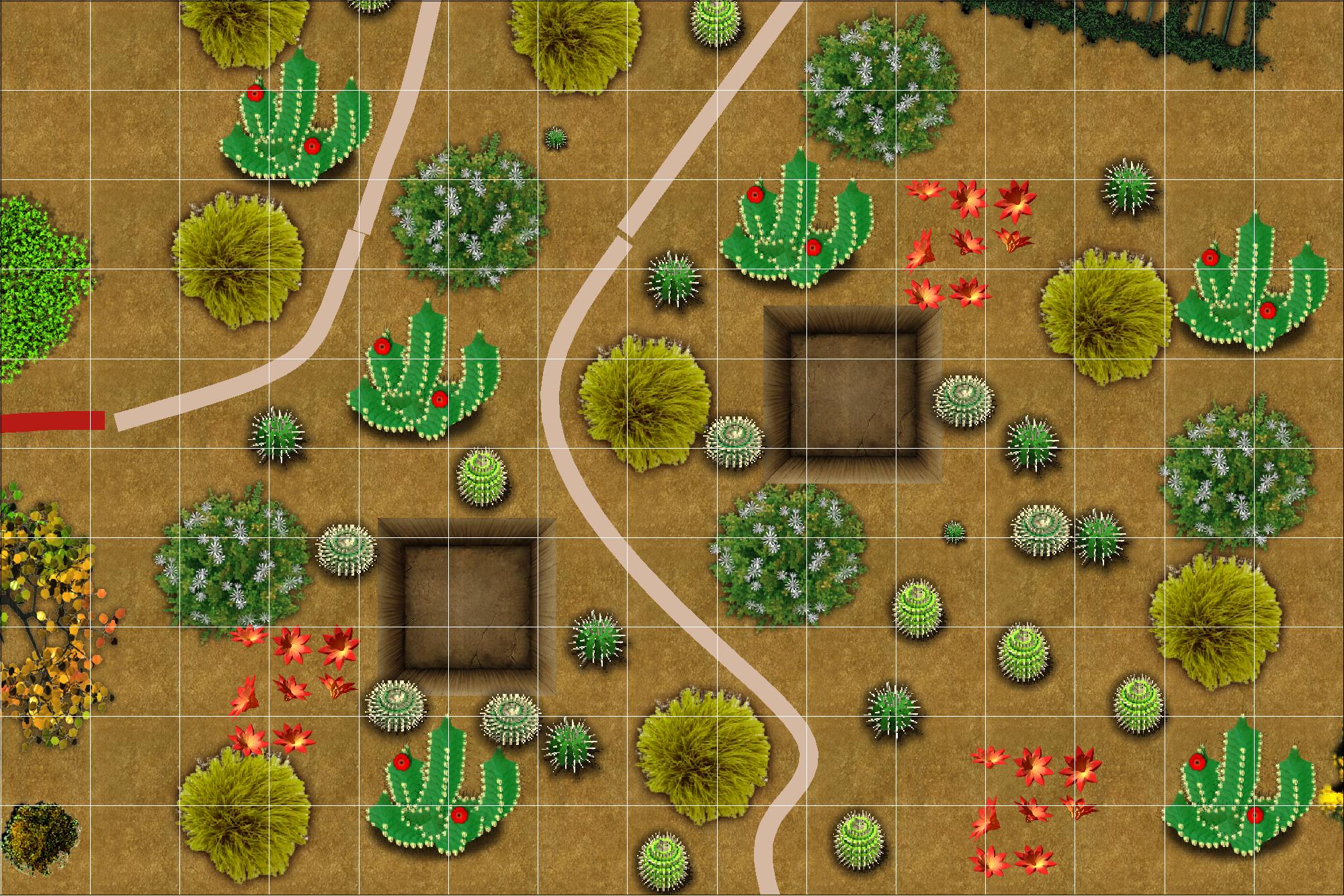
Examples of some of the maps in these zip files.


Author
Categories Game Aids, 75' x 50' vtt maps

Posted

Sargo Isle, nothing there… it is more of a sea mount than an island. It is located in the southeast corner of the Southern Hemisphere, about 2100 miles from Nalo Island.

Something I wrote about Sargo Isle, a basic short Saga about the history of the area.

The dotted line shows the approximate outer edge of the sea mount.


Author
Categories Old Joe's Lighthouse

Posted

Some Links

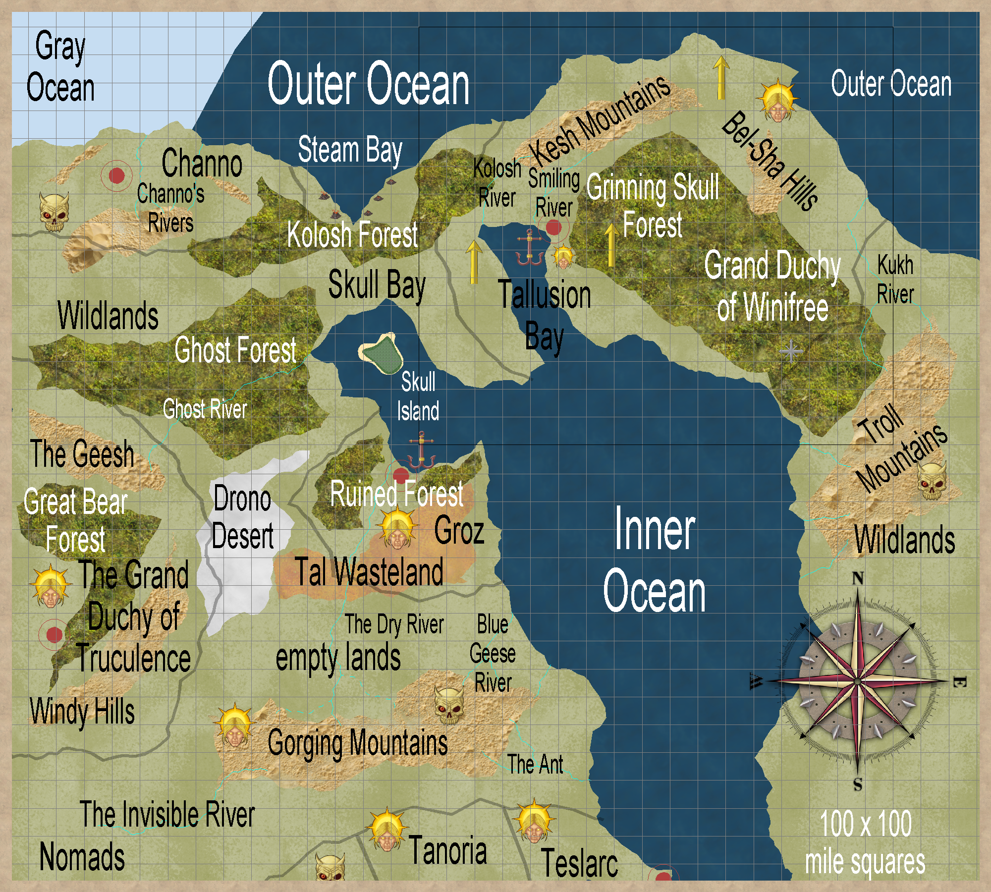
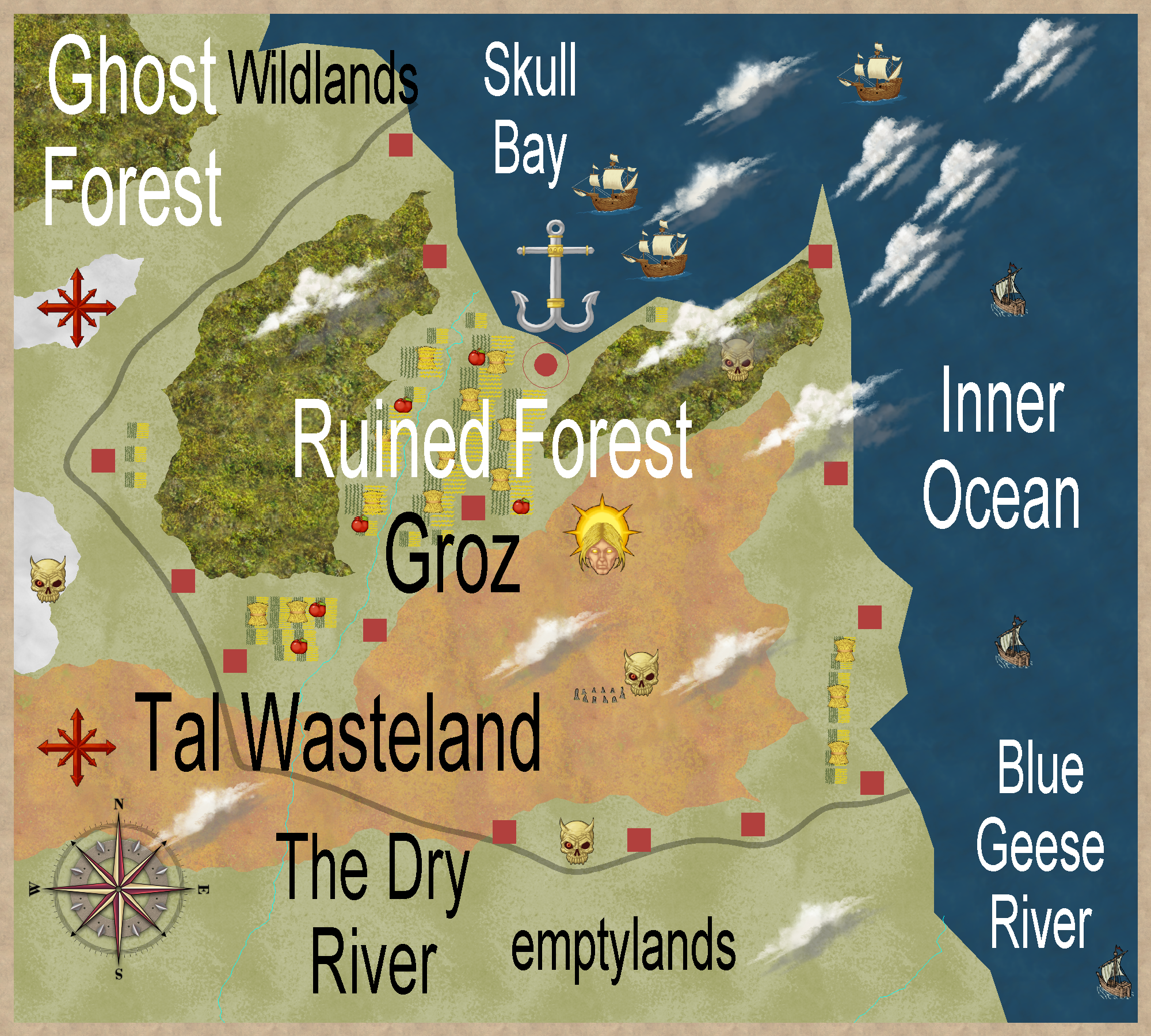
Groz, except for the penninsula between Krantz Bay and Kausa Bay, and a small section between the forests, is very poor soil. The Great Open, on the right or west side of the map, is mostly a high plains of grasslands. In times of low rain, foodstuffs are imported into Groz. The two evil brothers in Land of Strife have been known to attack these food ships.

Edit: new Groz area map; Feb 24, 2015.


Author
Categories South Hemisphere

Posted

Some Links

This land is a remnant of a once mighty kingdom that is encompassed by what is now Tanoria, Teslarc, and the Land of Strife, along with Groz. The kindgom was a friend to the fiefdom Trillolara, but is now concerned with mere survival. Tanoria and Teslarc have adventurers and adventure sites. They can raise armies if they need to, but Groz cannot. There are old abandoned castles and keeps here… they could hold treasures. But Groz is so weak militarily, these places might be inhabited by Evil. (Groz alignment: CG)

During periods of low rain, food is imported. Skull Bay is where the food shipments arrive.

New map: February 24, 2015

The small ships are coasters, the large ships are from over seas. Parts of the Ruined Forest are paces of Evil. A few places of Good are also within it. The Tal Wasteland is rather unpleasant. Rumor has it that there some henges and ruined keeps in the depths of the waste.

Some of the cropland areas are more wishful thinking to the Royal Court than actual food growing areas.

While Ghost Forest is outside Groz, things do show up from there from time to time. They feed, and then leave.


Author
Categories South Hemisphere


Privacy policy: I track IP addresses and pages looked at out of a vague curiosity to learn what pages are looked at on my site. After a set period, this information is deleted. No personal information is permanently kept.


[ Copyright © by Jim, 1980-2050. All Rights Reserved. ]

[ Except where noted, and where copyrights are held by others. ]