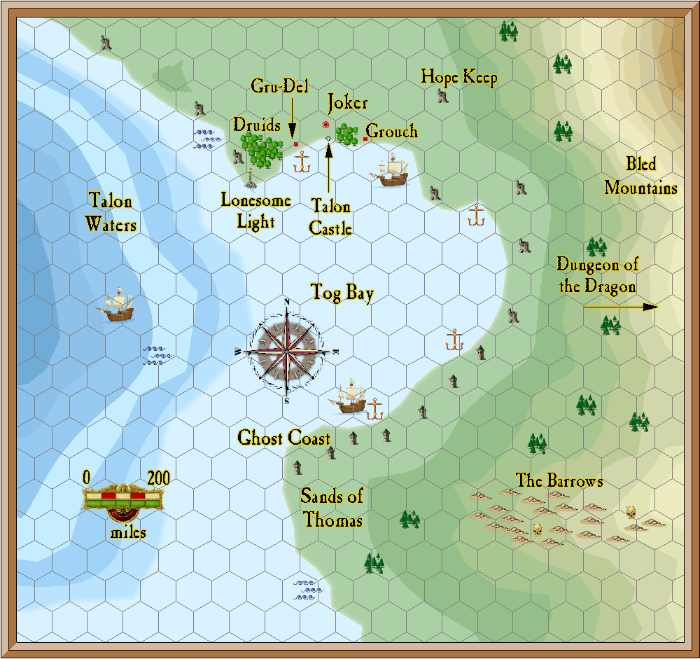
A Bay called Tog Bay.
Most of these symbols wouldn’t show up at this scale, but I wanted a few markers. The map is 1,888 miles wide and 1790 miles tall. Each hexagon is 100 miles across.

Posted
A Bay called Tog Bay.
Most of these symbols wouldn’t show up at this scale, but I wanted a few markers. The map is 1,888 miles wide and 1790 miles tall. Each hexagon is 100 miles across.

Author Bill Pluto is a planet
Posted
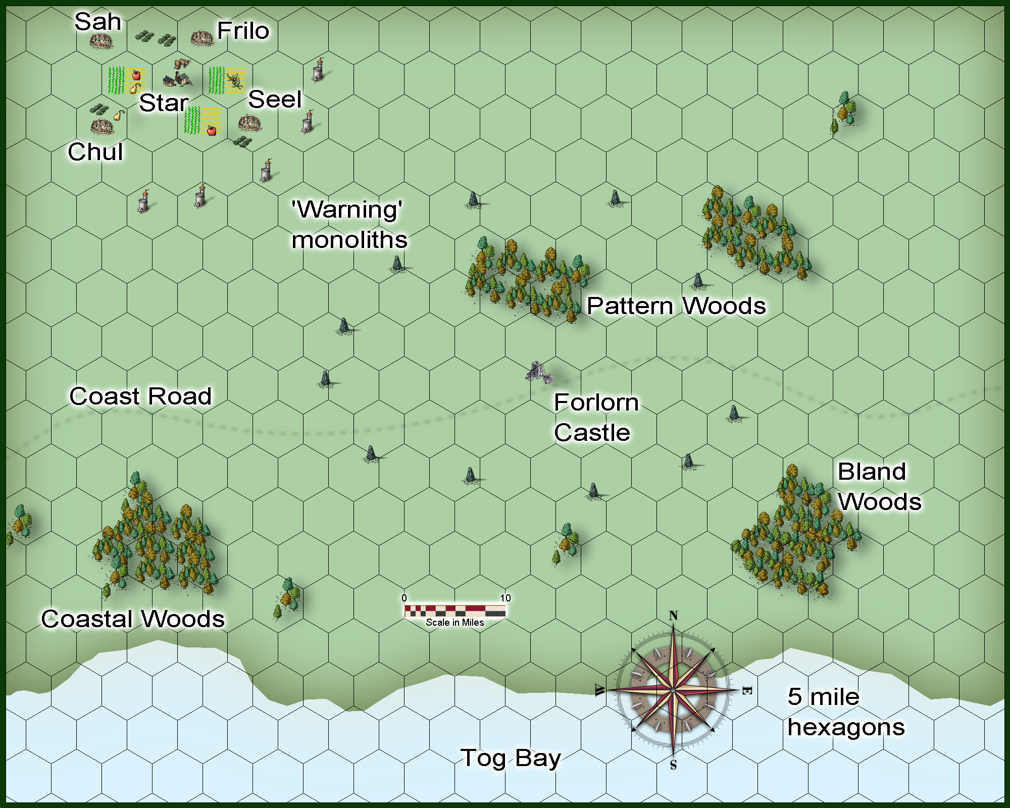
Some small woods, a few villages, and Talon Castle

Author Bill Pluto is a planet
Posted
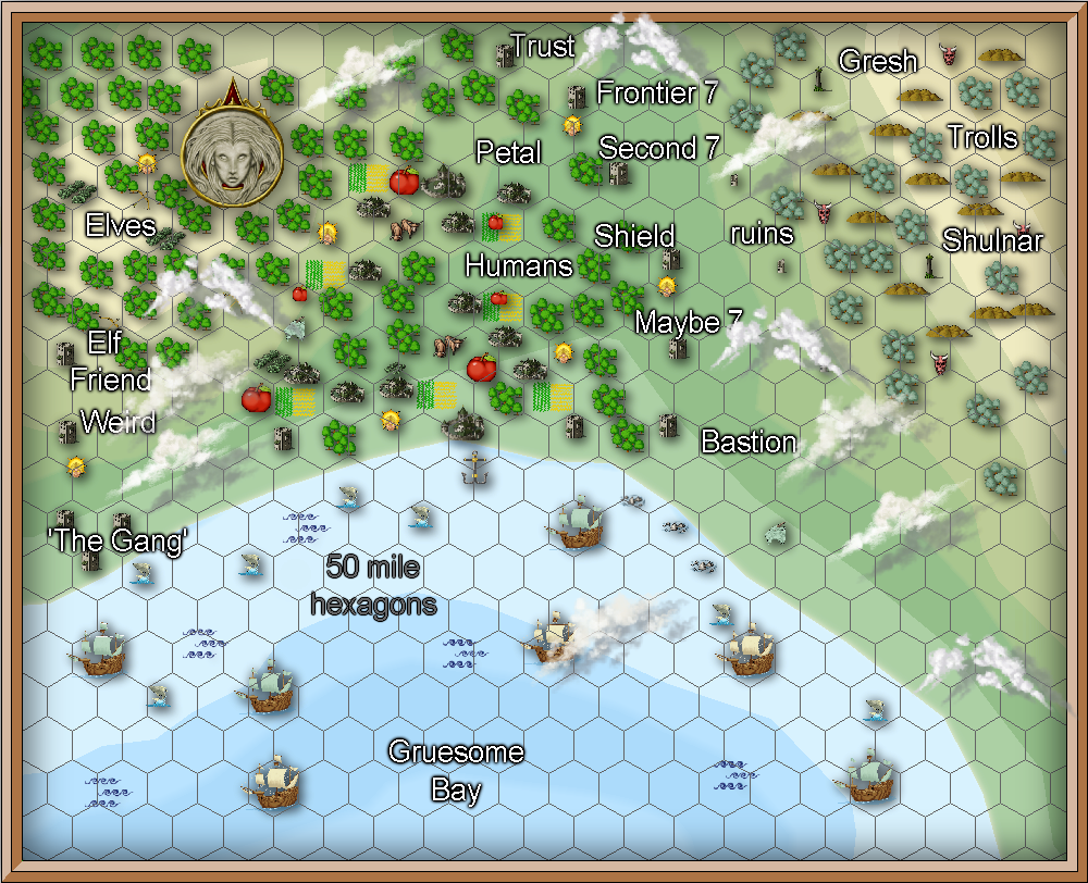
A large over view map. 1048 miles across.

Author Bill Pluto is a planet
Posted
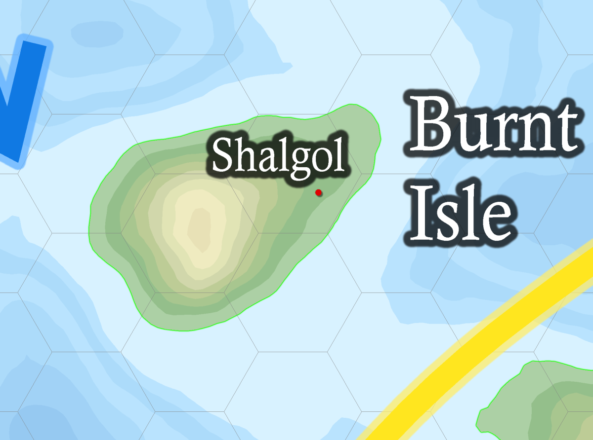
This is a partial png of the world map to show Burnt Isle. 500 mile hexagons. South of Sanctuary. The horizontal line is the Equator.
Shalgol is a town.

Author Bill Pluto is a planet
Posted
I bought a number of pdfs during the Christmas in July sale on drivethru. 2018
I’ll be reading them so I can get a better grip on how to setup a GM scenario. I’ve never run one in T&T, just the solo adventures.
Author Bill Pluto is a planet